Other Case Studies



Government / Field Services
API Integration
20+ organizations
Google Maps Platform
Field Visit Route Optimization with Google Maps
Field staff don’t fail at their jobs because they can’t find addresses. They lose time because planning efficient routes across a territory is cognitively exhausting. Staring at a list of twenty addresses and mentally mapping the optimal sequence—accounting for geography, traffic, and visit priorities—is the kind of task computers should handle.
We built a route optimization system that transforms field visit planning from a mental exercise into a visual, intuitive workflow.
The Challenge
Organizations with field staff conducting scheduled client visits were planning routes manually. The workflow looked like this: review a list of clients due for visits based on compliance requirements, look up addresses, mentally map an efficient route across the territory, and hope the sequence made geographic sense.
The visit schedules themselves added complexity. Different clients required different visit frequencies—monthly, quarterly, or other intervals depending on risk level and program requirements. Field staff had to identify who was due, then plan how to reach them efficiently. This dual cognitive load consumed significant time before any actual visits occurred.
The results were predictable. Routes that backtracked unnecessarily. Missed geographic clusters that could have been handled in a single trip. Time spent driving that could have been spent with clients. And no easy way to know whether a planned route was actually optimal or just the first sequence that seemed reasonable.
Our Approach
The core insight wasn’t that field staff needed Google Maps—anyone can look up directions. The insight was that route planning needed to become visual and interactive, integrated directly into the system where visit schedules already lived.
We designed the solution around the actual workflow: surface who needs a visit, show where they are on a map, let staff select a geographic cluster, and generate an optimized route. The system handles the cognitive burden; staff make the decisions that require human judgment.
Google Maps Platform provided the technical foundation—mapping, directions, geocoding—but the value came from integrating these capabilities into the existing case management workflow rather than forcing staff to context-switch between systems.
The Solution
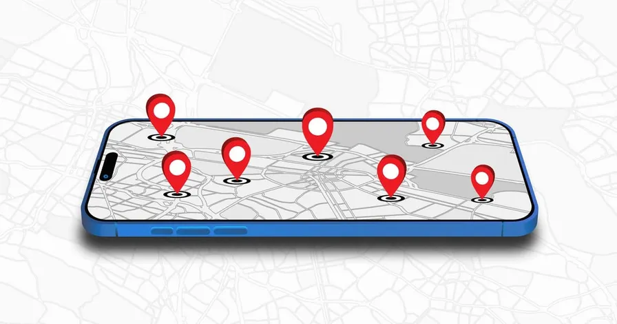
The system automatically identifies clients due for visits based on configured schedules and displays them as interactive pins on a map. Field staff see their territory visually—not as a list of addresses, but as a geographic distribution of where they need to go.
Visual Route Planning replaces the mental mapping process entirely. Staff click pins to see client details, then select multiple clients to build a route. Geographic clustering becomes obvious when you can see the map—select the cluster on the east side for Monday, the west side for Tuesday. What was previously invisible pattern recognition becomes a simple visual task.
Route Optimization takes selected waypoints and feeds them to the Google Directions API, returning an optimized sequence with real-time traffic consideration. The system supports up to twenty-five intermediate stops per route—the Google API maximum—which covers most daily route planning needs. The optimized route displays directly on the map with turn-by-turn visualization.
Print Output provides staff with printable route instructions. The optimized route with turn-by-turn directions exports to a format staff can take into the field. For organizations where mobile access is limited or staff prefer paper backup, the print option ensures the optimized route is usable regardless of technology constraints.
Address Validation catches data quality issues at the source. When staff enter client addresses, Google Geocoding validates in real-time and suggests corrections for typos or incomplete entries. Users can accept the suggestion or continue with their original entry, but the prompt surfaces potential problems before bad address data enters the system and causes failed visits later.
The Google Places integration enables searching for locations beyond client addresses—meeting points, landmarks, lunch stops—adding flexibility to route planning without leaving the interface.
Results
The system is available across 200+ organizations, with active daily use by at least twenty, handling route planning for field staff across multiple territories. The transformation in workflow efficiency was immediate.
Visual route planning eliminated the cognitive burden of mentally mapping addresses. Staff who previously spent significant time reviewing lists and planning sequences now select pins on a map and let the system optimize. The geographic clustering that was invisible in list format becomes obvious in map format—staff naturally group visits by area, reducing unnecessary travel.
Route optimization with real-time traffic produces measurably better sequences than human judgment alone. The system considers factors that are difficult to hold in working memory: current traffic conditions, optimal waypoint ordering across twenty-plus stops, actual drive times rather than estimated distances.
Address validation improved data quality across the client database. Catching typos and incomplete addresses at entry prevents downstream problems—failed visits, returned mail, staff arriving at wrong locations. The gentle prompt to accept corrections maintains data integrity without blocking workflow.
Technology Stack
- PHP - Backend application logic and API orchestration
- JavaScript - Interactive map interface and user interactions
- Google Maps JavaScript API - Map display and pin visualization
- Google Directions API - Route optimization and turn-by-turn directions
- Google Places API - Location search and autocomplete
- Google Geocoding API - Address validation and correction
- MySQL - Client data, visit schedules, and territory assignments
This project reflects our track record delivering field service management solutions with Google Maps API integration. Understanding the operational workflow—not just the technical integration—enabled a solution that actually improves how field staff work rather than adding another system to manage.
Ready to Solve a Similar Challenge?
Location-based features—from route optimization to geofencing to address validation—require expertise with mapping APIs and real-world operational workflows. Our API Integration Services bring together mapping, scheduling, and field operations.
Need location-based functionality? Let’s talk.
Related Case Studies:
Let's Solve Your Software Problem
We show up. On-site for discovery, kickoffs, training, and milestones—wherever the work takes us. No layers, no handoffs—just direct access to the engineers building your solution.
Products
Software products built and running in production today
Integration Experience
APIs delivered across payment, inventory, and government systems
Years Engineering Experience
Enterprise software experience our founders bring to every project